This allows a default inset configuration to be provided to avoid having to repeat it for each layer. Any layer that is inset-aware can use this as the default configuration if none is specifically provided to that layer. This coord also expands the axis limits to include the inset area.
Arguments
- feature_type
Type of map feature. See
feature_types()for a list of registered types. IfNA, the type is guessed based on the values infeature_names.- inset
Inset configuration; see
configure_inset().- ...
Arguments passed to
coord_sf_inset()
Examples
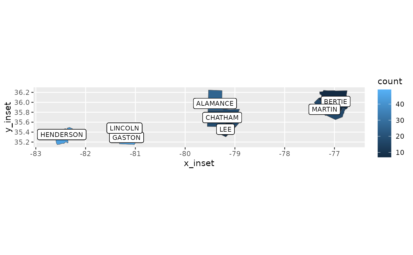
library(ggplot2)
library(cartographer)

ggplot(nc_type_example_2, aes(location = county)) +
  geom_choropleth(aes(colour = type), size = 0.5) +
  geom_sf_label_inset(aes(label = county), stat = "automap_coords", size = 3) +
  coord_automap(feature_type = "sf.nc")