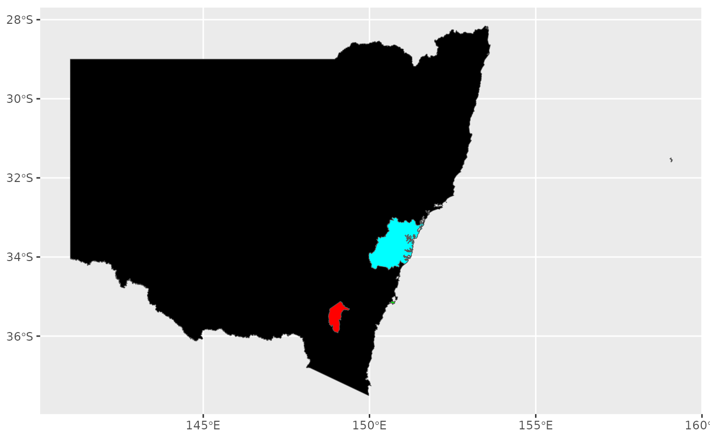
Lord Howe Island is administratively part of NSW, but as it is a small island some 600 km off the coast, it is frequently omitted from maps of NSW.
Format
An object of class sfc_MULTIPOLYGON (inherits from sfc) of length 1.
An object of class sfc_MULTIPOLYGON (inherits from sfc) of length 1.
An object of class sfc_MULTIPOLYGON (inherits from sfc) of length 1.
An object of class sfc_MULTIPOLYGON (inherits from sfc) of length 1.
An object of class sfc_POLYGON (inherits from sfc) of length 1.
Source
Australian Bureau of Statistics. "Australian Statistical Geography Standard (ASGS) Edition 3." ABS, Jul2021-Jun2026 (2025 update), https://www.abs.gov.au/statistics/standards/australian-statistical-geography-standard-asgs-edition-3/jul2021-jun2026, accessed 9 March 2026.
The original dataset is published under the Creative Commons Attribution 4.0 International licence, © Commonwealth of Australia 2021-2025.
Details
The Australian Capital Territory is an enclave within NSW, and Jervis Bay Territory is a small Australian territory on the coast, surrounded by NSW. Neither are NSW territory, but they affect the shape of NSW's outline and are sometimes useful to include in maps alongside NSW due to their locations.
The geometry for nsw has been simplified with a tolerance of 750 m to
reduce the level of detail, whereas the territories maintain their full
resolution. sydney is simplified with a 500 m tolerance.
Functions
nsw: External state boundary excluding LHI but including ACT and JBT.act: Australian Capital Territory boundary.lhi: Lord Howe Island boundary.jbt: Jervis Bay Territory boundary.sydney: Greater Sydney boundary.