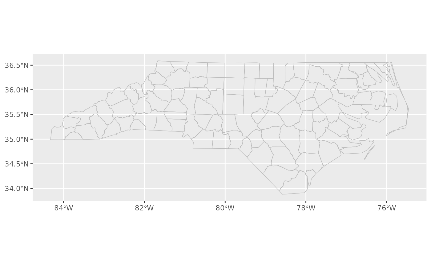
Retrieves the full map data from {cartographer} and plots the boundaries.
As well as the chosen feature boundaries, the outline of the map is
drawn separately if one has been registered with the map data, with the
possibility to override its aesthetics.
Arguments
- mapping, stat, position, na.rm, show.legend, inherit.aes, ...
See
ggplot2::geom_sf().- data
Ignored (this geometry always uses the registered geographic data).
- feature_type
Type of map feature. See
feature_types()for a list of registered types. IfNA, the type is guessed based on the values infeature_names.- inset
Inset configuration; see
configure_inset(). Ifwaiver(), the default, this is inherited from the coord (seecoord_sf_inset()).- map_base
Controls the layer with the base map. Possible values are
"normal"to create a layer as though the inset were not specified,"clip"to create a layer with the inset viewport cut out, and"none"to prevent the insertion of a layer for the base map.- map_inset
Controls the layer with the inset map. Possible values are
"auto"to choose the behaviour based on whetherinsetis specified,"normal"to create a layer with the viewport cut out and transformed, and"none"to prevent the insertion of a layer for the viewport map.- outline.aes
A list to override the aesthetics for the outline of the map. This has no effect if the map wasn't registered with a separate outline.